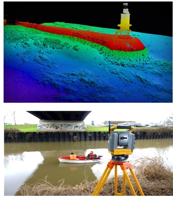
We provides professional site survey and mapping services to support organizations in planning, compliance, and operational decision-making. Our team conducts detailed assessments of site conditions, infrastructure, and environmental factors using modern tools and best practices. By combining field data collection with advanced mapping techniques, we deliver precise reports and visual outputs that help clients identify risks, optimize layouts, and meet regulatory requirements.
- Hydrographic & Geophysical surveys
- Seabed Mapping services
- Oil & gas Rig and platform site surveys
- Pipeline and cable rout surveys
- Submarine cables survey & burial assessments
- Debris clearance survey
- Port and harbor development
- Seabed hazard surveys
- Pre-dredged and Post-dredge bathymetric surveys
- Bathymetric charting for sea floor
- Single and multi-beam bathymetry
- Side-scan sonar
- Sub-bottom profiling
- Magnetometer surveys
- Utility Mapping